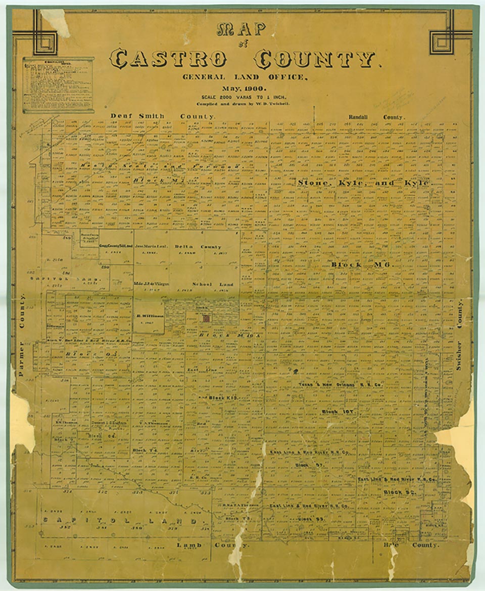
Castro County is located in the western Panhandle on the Texas High Plains, bordered on the west by Parmer County, on the north by Deaf Smith and Randall Counties, on the east by Swisher County, and on the south by Lamb and Hale counties. The county was named for Henri Castro, the empresario who was consul general to Paris for the Republic of Texas. The center of the county lies at approximately 34°32' north latitude and 102°20' west longitude. Dimmitt, the county seat, is near the center of the county, approximately fifty miles southwest of Amarillo. Castro County comprises 900.33 square miles of level plains. Its sandy loam and black soils once supported native grasses but now produce abundant corn, wheat, sorghum, cotton, sugarbeets, and soybeans. Seasonally waterless draws or arroyos drain the county; Frio Draw runs southeasterly into Swisher County, and Running Water Draw, which begins about twenty-five miles northwest of Clovis, New Mexico, meanders southeasterly across Castro County into Lamb and then Hale counties. More than 500 playas dot the surface of the county. Elevation ranges from 3,500 to 4,000 feet above sea level, and annual precipitation averages 17.72 inches. The average minimum temperature of 22° F occurs in January, and the average maximum of 93° in July. The growing season averages 193 days a year.
The area now known as Castro County was once occupied by Apaches, who were forced out of the region by Comanches around 1720. The Comanches ruled the Panhandle-Plains area until they were defeated by the United States Army in the Red River War of 1874. The Indians were confined to reservations in Indian Territory during 1875 and 1876. Buffalo hunters arrived in the region in 1876 and by the early 1880s had eliminated the last remnants of the formerly huge herds. The Texas legislature established Castro County in 1876.
Ranchers began to arrive in the county in the early and middle 1880s. James W. Carter brought his family in 1884 and established a medium-sized ranch of seventy-two sections, the 7-UP Ranch, in the southwestern part of the county on Running Water Draw. Other ranches, headquartered in surrounding counties, controlled Castro County lands. The XIT Ranch held some land in the southern and western parts of the county, while the T Anchor Ranch controlled some of the land in the north. The Cross L had lands in southeastern Castro County, and the Circle Cross controlled ranges in the eastern part of the county. In 1888 Lysius Gough filed on land south of the site of present-day Dimmitt, and in 1889 James L. Beach and his six sons from Grayson County each filed on sections of land in the same general area and dug dugouts (seeDUGOUT), confident that a county seat would be soon be established nearby. In 1890 only nine people lived in Castro County; most of them were members of the Carter family.
Between 1890 and 1900 Castro County slowly developed but remained a sparsely populated stock-farming and ranching region. Some settlers arrived in the nineties to claim land for agricultural or commercial uses. On March 4, 1890, the Bedford Town and Land Development Company was formed in Grayson County with H. G. Bedford as president. On May 27, the company, eager to establish a county seat for Castro County, bought a section of land near the center of the county, dug a well, built a water tower, and platted a town. The new town was called Dimmitt because of the close bond between H. G. Bedford and the Rev. W. C. Dimmitt, a partner in the venture. In 1890 and 1891 a number of settlers, including Ira Aten, Thornton and Will Jones, Mrs. M. B. Fowle, the Tates, the Turnbows, and the J. E. Turners, moved into the county and established themselves near Dimmitt.
By 1891 Castro County's new settlers felt a need for local government. A petition for organization was circulated in August 1891. Meanwhile, developers of different townsites were competing for the location of the county seat, though only one of the proposed sites, Castro City, posed a real threat to the Bedford group. After much struggle to obtain the 150 names necessary for organization, the petition was presented to the Oldham County Commissioners Court on December 9, 1891. Castro County was formally organized by an election on December 21, and Dimmitt was designated the county seat. By 1900, seventy-six farms and ranches in the county encompassed 191,362 acres of land (including 12,131 acres classified as "improved"), and the county's population had risen to 400.
Soon after 1900 the XIT and other Panhandle ranches began to sell lands to arriving settlers, and the advent of German farmers in the eastern part of the county between 1902 and 1906 helped to stimulate farming on a large scale. The German immigrants came to Castro County as a result of the colonization efforts of a Catholic priest, Father Joseph Reisdorff. Reisdorff, founder of other German colonies at Rhineland, Windthorst, and Slaton, began his Castro County promotions in league with an Irish Catholic, Tom McCormick, who had lived in the eastern part of the county since 1892. McCormick's attempt to establish an Irish Catholic colony named Wind on his property in 1892 had failed, so he was amenable to Reisdorff's plans. Reisdorff established a town, Nazareth, in 1902 to serve as the center of his new colony.
The Germans and other newcomers took up both farming and stock raising, and farming gradually grew in importance over the years. Meanwhile, a rapid rise in agricultural mechanization, coupled with a rising demand for agricultural products in the 1920s, helped to stimulate the county's farm economy. The number of farms in the area consequently grew steadily between 1900 and 1930. By 1910, 327 had been established in Castro County, 365 by 1920, 521 by 1925, and 751 by 1930. Corn, sorghum, and, especially, wheat, were the principal crops grown by these new farmers; by 1930 crops were harvested on more than 220,000 acres of land in the county, including 132,665 acres devoted to wheat production. The number of cattle also grew during this period. In 1900 about 9,500 head were counted in Castro County; by 1930 the census counted almost 31,460. As the agricultural economy developed, county population grew: Castro County had 1,850 residents in 1910 and 1,948 in 1920; in 1930 the census enumerated 4,720.
The hard years of the Great Depression marked an end to this first period of development; during the 1930s crop production dropped and some farmers were forced to give up their lands. In 1939 farmers harvested only about 212,000 acres in the county, and the number of farms had dropped to 703; the population declined during the depression to 4,631.
After World War II, however, the county's economy began to expand again as underground irrigation water began to play an important role in the local farming economy and farming acreage increased. By the 1980s more than 400,000 acres of Castro County (over 70 percent of county lands) was under cultivation, with over 300,000 acres irrigated by underground water. As the farming economy grew, the county prospered. Population rose in 1950 to 5,417, to 8,923 in 1960, to 10,394 in 1970, and to 10,556 in 1980. Over the next two decades, however, it shrank; only 9,070 people lived in Castro County in 1992, and 8,285 in 2000.
The transportation system of Castro County has developed along with the area's economy and population. Crude wagon roads of the 1890s evolved into dirt auto roads by the World War I era. Most of these wound across the county along section lines and fence lines. By the mid-1920s a graded dirt road linked Dimmitt to Tulia via Nazareth and Bovina. Ungraded dirt roads also ran from Dimmitt to Hereford and from Dimmitt to Plainview. In the 1930s Work Projects Administration projects in Castro County included the construction of caliche auto roads in and around Dimmitt. After 1934 the Texas State Highway Department began to build and maintain intercounty dirt roads, which were paved after World War II. The county's first paved highway, State Highway 86, from Dimmitt to Tulia, was not completed until 1941. Castro County was thus the last Texas county to acquire a paved road. In the years between the 1940s and the 1960s, a network of paved farm-to-market roads evolved to link the rural parts of the county to main routes (seeHIGHWAY DEVELOPMENT).
Railroads came into the area relatively late. The county's only rail line is a branch of the Fort Worth and Denver Railway built from Plainview to Dimmitt in 1928. The Pecos and Northern Texas Railway, an Atchison, Topeka and Santa Fe subsidiary, built across the far northwestern corner of the county in 1898 but made no real contribution to the local economy.
The voters of Castro County favored the Democratic candidate in virtually every presidential election from 1900 through 1968. The only exception occurred in 1952, when Republican Dwight Eisenhower won a majority of the county's votes. After 1972, when Republican Richard Nixon carried the county over Democrat George McGovern, the area began to trend Republican. Though Democrat Jimmy Carter took the county in 1976, the area went Republican in every presidential election from 1980 through 2004.
By the 1980s Castro County was ranked as one of the state's most productive agricultural counties. Its yearly average crop, valued at over $195 million, consisted principally of corn, wheat, sorghum, cotton, soybeans, sugarbeets, and vegetables. The county maintains several large vegetable-processing plants. The cattle feedlot industry developed on a large scale after the 1950s and reached a capacity of over 200,000 head. In 1972 a large sheep feedlot went into production with a capacity of 20,000 head. Since then two or three large-scale hog operations have been started. The county also has a fertilizer industry and a number of cotton gins. In 2000 Castro County's farmers and ranchers earned $668,400,000 and the area ranked first in the state and nineteenth in the nation in agricultural receipts. Ranchers raised both cattle and sheep; corn, cotton, and wheat were the principal crops. As of 2014, 7,781 people lived in the county. Most people in Castro County live in its towns and communities, including Nazareth (population, 303) and Hart (1,088). Dimmitt, the county's largest town and seat of government, had a population in 2014 of 4,375, and hosts Castro County's yearly Harvest Days festival.
Is history important to you?
We need your support because we are a non-profit that relies upon contributions from our community in order to record and preserve the history of our state. Every dollar helps.
Castro County Historical Commission, Castro County, 1891–1981 (Dallas: Taylor, 1981). Charles P. Flanagin, The Origins of Nazareth, Texas (M.A. thesis, West Texas State College, 1948). Highways of Texas, 1927 (Houston: Gulf Oil and Refining, 1927).
The following, adapted from the Chicago Manual of Style, 15th edition, is the preferred citation for this entry.
Donald R. Abbe,
“Castro County,”
Handbook of Texas Online,
accessed May 11, 2024,
https://www.tshaonline.org/handbook/entries/castro-county.
Published by the Texas State Historical Association.
TID:
HCC08
All copyrighted materials included within the Handbook of Texas Online are in accordance with Title 17 U.S.C. Section 107 related to Copyright and “Fair Use” for Non-Profit educational institutions, which permits the Texas State Historical Association (TSHA), to utilize copyrighted materials to further scholarship, education, and inform the public. The TSHA makes every effort to conform to the principles of fair use and to comply with copyright law.
If you wish to use copyrighted material from this site for purposes of your own that go beyond fair use, you must obtain permission from the copyright owner.