File:Map of USA DC.svg
Jump to navigation
Jump to search

Size of this PNG preview of this SVG file: 286 × 186 pixels. Other resolutions: 320 × 208 pixels | 640 × 416 pixels | 1,024 × 666 pixels | 1,280 × 832 pixels | 2,560 × 1,665 pixels.
Original file (SVG file, nominally 286 × 186 pixels, file size: 98 KB)
This is a file from the Wikimedia Commons. Information from its description page there is shown below.
Commons is a freely licensed media file repository. You can help. |
Clickable version
Summary
| Description |
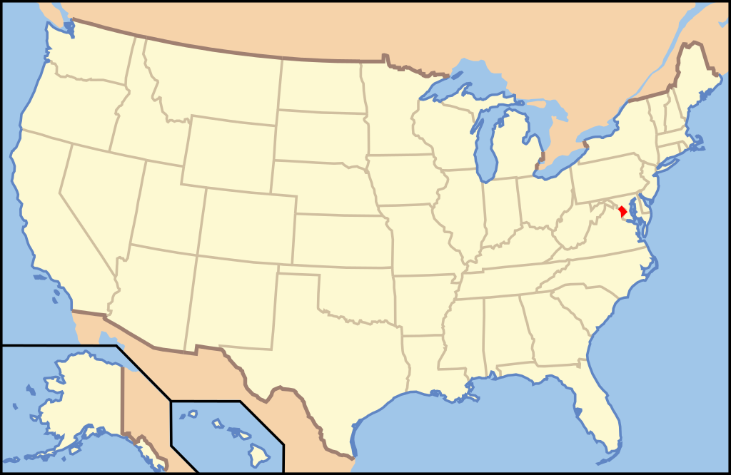
English: Map of USA highlight District of Columbia |
| Date | |
| Source | File:US Locator Blank.svg |
| Author | [User:te wiki] |
Licensing

|
Permission is granted to copy, distribute and/or modify this document under the terms of the GNU Free Documentation License, Version 1.2 or any later version published by the Free Software Foundation; with no Invariant Sections, no Front-Cover Texts, and no Back-Cover Texts. A copy of the license is included in the section entitled GNU Free Documentation License. |
| This file is licensed under the Creative Commons Attribution-Share Alike 3.0 Unported license. | ||
| ||
| This licensing tag was added to this file as part of the GFDL licensing update. |
File history
Click on a date/time to view the file as it appeared at that time.
| Date/Time | Thumbnail | Dimensions | User | Comment | |
|---|---|---|---|---|---|
| current | 00:49, 9 May 2008 | | 286 × 186 (98 KB) | Te wiki~commonswiki | Reverted to version as of 23:07, 23 January 2008 |
| 03:27, 25 April 2008 |  | 286 × 186 (107 KB) | Rfc1394 | Add an inset magnifying DC on full map | |
| 23:07, 23 January 2008 |  | 286 × 186 (98 KB) | Te wiki~commonswiki | {{Information |Description= Map of USA highlight District of Columbia |Source= [Image:Map of USA.svg] |Date= January 23, 2008 |Author= [User:te wiki] |Permission= See below. |other_versions= }} |
File usage
The following 2 pages use this file:
Global file usage
The following other wikis use this file:
- Usage on bn.wiktionary.org
- Usage on br.wikipedia.org
- Usage on cs.wikipedia.org
- Usage on de.wikipedia.org
- Vorwahlergebnisse der Präsidentschaftswahl in den Vereinigten Staaten 2008
- Flaggen und Siegel der US-Bundesstaaten
- Vorwahlergebnisse der Präsidentschaftswahl in den Vereinigten Staaten 2016
- Vorwahlergebnisse der Präsidentschaftswahl in den Vereinigten Staaten 2020
- Vorwahlergebnisse der Präsidentschaftswahl in den Vereinigten Staaten 2024
- Benutzer:Sarkana/Vorwahlergebnisse 2024
- Usage on en.wikipedia.org
- Usage on fr.wikipedia.org
- Usage on he.wikipedia.org
- Usage on incubator.wikimedia.org
- Usage on mr.wikipedia.org
- Usage on nl.wikipedia.org
- Gebruiker:Abnormaal
- Gebruiker:Abnormaal/Zandbak
- Kaartnoorden
- Sjabloon:Kaart staten Verenigde Staten
- Gebruiker:Abnormaal/HoofdstadUSA
- Gebruiker:Abnormaal/VoorstelUSA
- Wikipedia:De kroeg/Archief 20090508
- Gebruiker:Abnormaal/TestUSACategorie
- Gebruiker:Abnormaal/KlikGevoeliigeKaartVanUSACategorie
- Gebruiker:Abnormaal/Kladblok
- Usage on pdc.wikipedia.org
- Usage on pl.wikipedia.org
- Usage on pl.wiktionary.org
- Usage on pt.wikipedia.org
- Usage on pt.wikibooks.org
- Usage on ro.wikipedia.org
- Usage on ru.wikinews.org
- Usage on sc.wikipedia.org
- Usage on sv.wikipedia.org
- Usage on tr.wiktionary.org
- Usage on yo.wikipedia.org
View more global usage of this file.